Saturday, August 27, 2011

Ultima Underworld 2

So I have lost a month playing an old computer game. My son quite frequently decides that we need to play '90s Dos games, and we had a two-for sitting around which included both Ultima underworld (which we have played a great deal already) and its companion Ultima Underworld II (which we have not played much). So of course we got the dosbox and dfend out (two great little programs for running '90s games which do a much better job of handling the weird memory gyrations of '90 dos than Microsoft) and began to play. Since my sons approach to playing involves slaughtering everything that moves and letting Dad figure out the clues and puzzles. I have long ago swallowed my pride and realized that the way though most games is to use the cheats and walk-throughs available on the Internet (This is especially handy when all the creatures who were supposed to give you clues are dead, or angry at your attempt to cut them to pieces). So I have been spending  a lot of time listening to this German guy as he works his way through.

The Ultima underworld series still has my most favorite set of skills for roleplaying. I am totally stealling it for my roleplaying game (don't hold your breath kiddos, I have been writing my own roleplaying game for over years and not published anything yet).

Sunday, July 10, 2011

The Grid, the Grid

The nice map posted at the City of Iron got me thinking. You see Gavin, the artist, decided to draw his map free hand without a grid, and that got me thinking. If your going to show to the players when I don't see a problem of no grid. If you need to sketch in on a battle map, or describe it verbally for me at least a grid is quite useful. Of course these days drawing the map and adding a grid later is pretty simple (It could be done in the old days but required gridded chartpak and some skill with an x-acto). I usually tried to grid the room floors and leave the walls blank, the opposite of the artists at the White Dwarf and Judges Guild who tended to grid the walls and leave the floors blank. I'll not comment on his choice of red lines with purple shading,as that is a matter of personal preference. Although, if you are running "Old School" and not showing the map to anyone else, I would not spend a lot of time trying to make the map look "pretty". I would however grid it for the reasons already mentioned.

Substistance Farming and the Man

As a complement to my map of village densities in 11th century England, I have been working on a map of village densities in the Old Northwest territory (which Ohio were I live happens to be part of) during the 18th century. I have nice map of village locations in 1759 courtesy of the Atlas of Great Lake Indian History, Helen Hornbeck Tanner ed. University of Oklahoma press 1987. However, I have run into to issues. First, the Old Northwest territory is too big to map comfortably with five mile hexes. Second, after over 200 years of warfare and smallpox, village densities are measured in hexes per village rather than villages per hex. As such I had set this project aside for a bit.

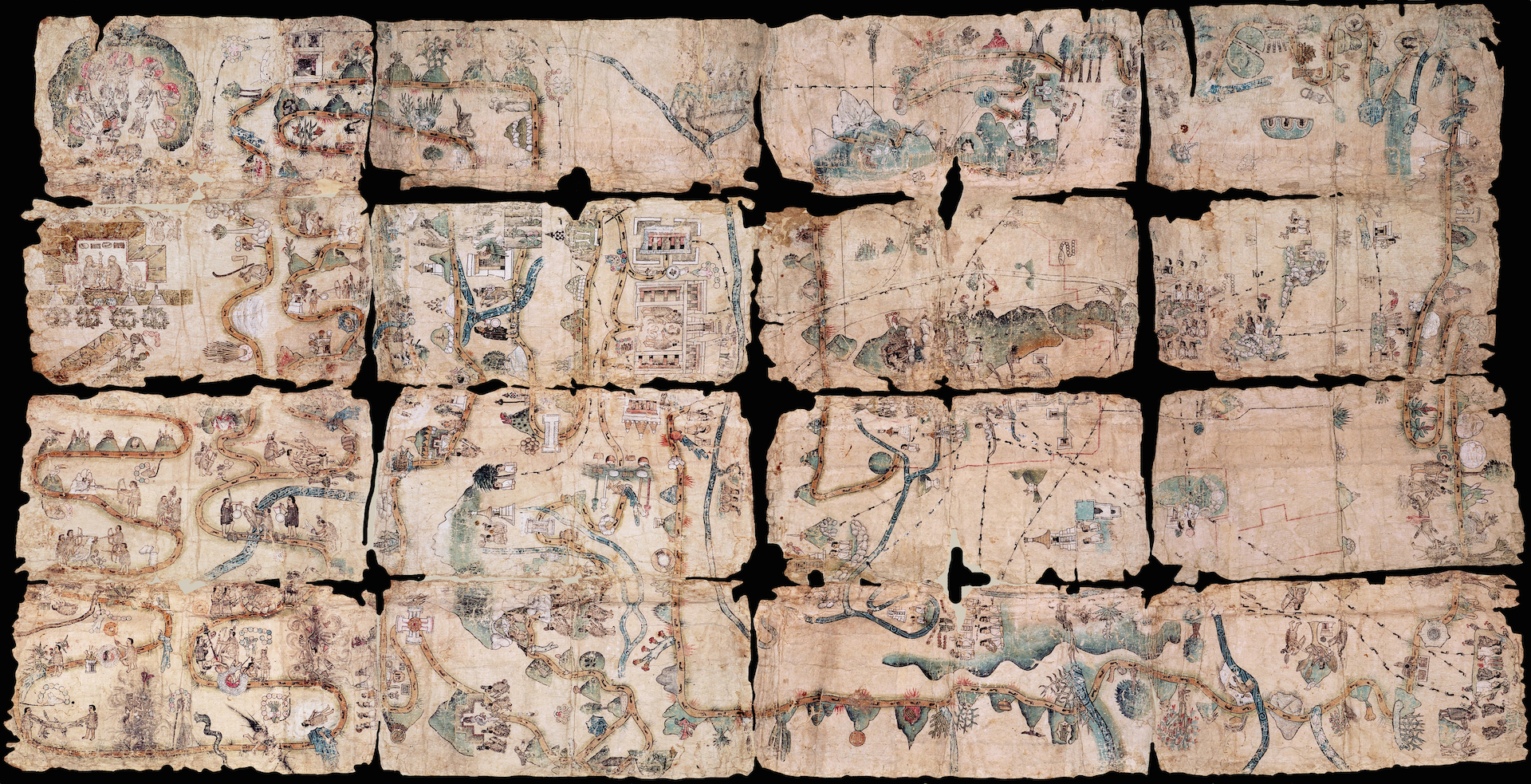
My recent posts on the Aztecs have let me back to thinking about Native Americans once again. While researching Aztec farming techniques at the library, I peaked over at the Native North American section right next door and obtained The Miami Indians of Indiana, Stewart Rafert, Indiana Historical Society. The Miami, a small tribe, feature prominently in Atlas of Great Lake Indian History for their control of the portage (now Fort Wayne, IN) between Lake Erie and the Wabash River (a substantial short cut to the Mississippi River if you are traveling by Canoe). Since Miami Indians of Indiana was an easy read and allowed me to procrastinate further on the turgid but important sounding Cultivated Landscapes of Middle America on the Eve of Conquest I read it cover to cover. One of the most fascinating parts of it is the tribe continuing to live its lifestyle of the men hunting and fishing, and the women growing a little corn and a little squash on a mere 10 square mile reservation IN INDIANA  from 1847-1872 (a population of roughly 148-250 people over the time period). I am a bit surprised since 10 square miles (6,400 acres) is only a little bigger than one our modern factory farm which will have 10 people living on it if the farmer has a big family (not sure how many people it feeds I'll have to look that up). The legal manoeuvrings which allow them to stay in Indiana while the rest of the Native Americans forced west at gun point are also quite interesting (a lot of it has to do with the local non-native American tavern owners and lawyers liking the tap into the yearly U.S. Government hard currency (silver dollars) payment the tribe collected as a treaty settlement. It unfortunately also lead to only the Miami who moved to Oklahoma being recognised as a "tribe" by the U.S. Government. In 1873 the reservation was broken up into 63 farms and divided amongst the residents. Many Miami being brave soles prompt tried their hand more conventional farming. Unfortunately this involved borrowing the $1,000 from the bank to equip a conventional farm and selling the farm to the bank when the inevitable "bad year" hit and bank could not be paid. The 1994 U.S Government wrangling that the guy who ruled in 1895 that Indiana Miami were no longer a tribe was wrong, but since it had been too long (mostly because the Bureau of Indian Affairs ruled in the several lawsuits since the ruling that because the Miami were not a tribe no lawsuit could be brought) is also a prime example of why people of my generation have a great distrust of government (also known as "the Man). There is an interesting corollary between the treatment of Native Americans and the "screw job" conducted by the enclosure of 16th century England, as well as the Oklahoma farmers during the dust bowl, but this post is long enough already.

Monday, July 4, 2011

Swag from Origins

Living pretty close to Columbus, a trip to the Origins dealers room is a family ritual. Not a lot of swag for me as She-Who-Must-be-Obeyed blew one chunk of the budget on Warhammer bits (well technically the Orc bits are for my army), and my son is equipping the 7th Federation fleet (not sure where the battle star will fit in it, but it was cool so we bought it too). Got some free RPG day leftovers as free was definitely in the budget (mostly WoTC, but Goodman's Dungeon Crawl Classics Starter as well). Limit on free RPGs was two per customer, but this is where having a wife and son with me paid off (my son used one of his picks for something a space ship on the cover). Picked up the new hardbound Arcanis (enjoyed the beta test version I picked up at Gencon last year so thought I'd give it a  go). I'll post a full review sometime soon. Was severely tempted by the Hackpedia of Beasts pre-order, but gave it a pass. I am glad it is all in one book, unlike the book 1 A-C,  book 2 D-F, etc of the previous edition (I gave up about L). However, I remembered how unimpressed I was with the monsters in the previous edition (suffered from me-too-ism by re-replicating all the monsters in the d20 SRC with little change). I also don't really need to be buying books just to throw in the box of Hackmaster rules gathering dust in the corner (Hackmaster and I don't see eye-to-eye on taking the core d20 rules and making them more complicated). And  finally the real find of the show, White Dwarf 34. I have been after this bad boy ever since She-Who-Must-Be-Obeyed ran me through the Starstone adventure in 1983, and we saw the note that White Dwarf 34 contained another module by the same authors "Trouble at Ember Trees ". Five pages of old White Dwarf microprint (I did have to use my scanner to enlarge the print, as my eyes can't handle microprint any more) goodness with FOUR maps and SEVENTY EIGHT encounters. They just don't write'm that way any more. Heck, five pages will barely  fit ONE fourth edition encounter. And where did I find this gem? Was it in the glass case at Crazy Egor's (Talisman Timescape another on the "how did I miss that" list was, but the price was too dear)? Was it got from the Troll and Toad auction after some fevered bidding war? No, it was in the $3 bin of old junk we want to get rid of at the Comic book vendor booth. WOHOOOO! some days the collecting gods smile on you.

Friday, July 1, 2011

Curiouser and Curiouser

I am looking at my blog stats and being a bit bemused. My blog had over 9,000 views last month versus a mere 1,000ish the month before. So in a month which due to business travel and the nephews graduation I posted almost nothing I get a ninefold increase in traffic. Whats my most viewed post? A blank piece of notebook paper!

Wednesday, June 29, 2011

Now thats a Map


Part picture book, part map the Mapa de Cuauhtinchan No. 2 is an Aztec artifact from 1540. It was painted for the Lords of Cuauhtinchan to show the Spanish their claim to the territory they ruled. The first part starts with the emergence from the lords ancestors from the cave of Chicomoztoc (legendary origin point of the Aztecs and several other tribes) and follows their journey to found the town of Cuauhtinchan. The second part shows the environment around Cuauhtinchan. The map is analyzed extensively in the book Cave, City, and Eagle’s Nest: An Interpretive Journey through the Mapa de Cuauhtinchan No. 2 edited by Davíd Carrasco, and Scott Sessions, UNM press 2007. You can also listen to David Carrasco's lecture at the School for Advanced Research in Santa Fe New Mexico here. Among other things he explains rediscovering the map in a kitchen drawer of a wealthy patron. Now I return to my monastic cell to further contemplate Mesoamerican Agriculture (unfortunately Cultivated Landscapes of Middle America on the eve of Conquest has far less interesting maps and a vocabulary that requires a Dictionary close at hand).

Updated to fix the broken picture link 3/11/2023

Sunday, May 15, 2011

Spanish Victory for Cortez with help from Friends

One of my commentators to the previous post is certainly correct about the Spanish needing help from native allies. Unfortunately I think that worked out better for the Spanish. The book on pre-Columbian agriculture, I picked up highlights the precipitous collapse of the native population and a shift in farming from using all the varied habitats to just those suitable for planting with a plow or raising cattle. The collapse can be attributed to old world diseases (Guns, Germs, and Steel is a great book on this subject), but the lack of recovery may be more due to the shift in farming. It also interesting that New world seems to have several cultural collapses including the Maya in the 10th century, the Anasazi in the 13th century, and Teotihuacan, about 25 miles to the north of Tenochtitlan (and probably a bigger city as well) abandoned in the 5th century. The Spanish spend some time hiding out in Teotihuacan after being thrown out of Tenochtitlan, before hooking up with the Tlaxcalans for the final defeat of the Aztecs. Central America is certainly a more populous and complex place than the new world campaigns I have run in the past. However, when I try to add complex and interesting large civilizations to my campaign, I am roundly booed by the players for interfering with their exploration and looting of ancient ruins. Perhaps the loudest complainer is  She-Who-Must-be-Obeyed who does not see the same drawbacks in her urban based Medieval European campaigns. More on this in another post.
Related Posts Plugin for WordPress, Blogger...